The Industry Standard for Hail Maps
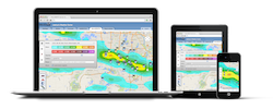 HailSWATH maps provide a geographic visualization of hail storms that occur within the United States. Hail paths are contoured based maximum hail size in quarter-inch increments from 3/4″ up to 4+” hail. What makes our hail maps truly stand out from the crowd is the fact its based on a proprietary hail verification model proven to be up to four times more accurate than other known methods in the market who use a variation of the NSSL developed hail detection algorithm (HDA) algorithm known to overestimate the size and aerial coverage of hail storms.
This proprietary hail verification model combines hail size algorithms, state-of-the-science artificial intelligence, 3-D storm models, and the best available remote sensing and point-specific weather data to objectively determine what hail size fell over a given location.
HailSWATH Map Features
- 14 Contours Level from ¾” up to 4”
- Turn On/Off Any Hail Contours
- View Full Screen Mode
- Add Custom Locations
- Plot Local Storm Reports
- Google Maps Satellite & Street View
- Choose Opacity of Layers
- 6 Different Color Pallets
- Find Your Location Button
- View Major Building Suppliers
HailSWATH Interactive Maps
The most accurate hail maps available. Know more than your competition, get more work.
Find Your Solution
Hail & Wind Alerts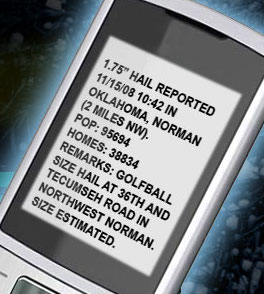
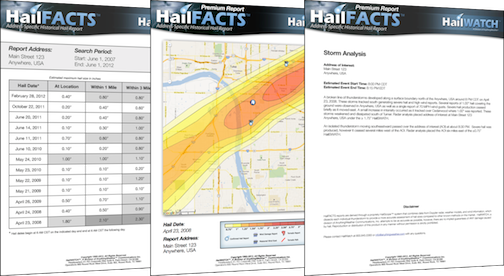
HailFACTS Reports
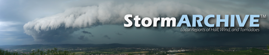
StormARCHIVE Historical Reports
Storm Marketing